
HazardHub Risk Data
Get insurance risk data for underwriting and pricing property insurance. See what property and casualty risk data is available. Improve risk assessment and portfolio management in seconds.


Better Data for Better Decisions
Make faster, more accurate decisions with the most comprehensive property risk data ever created.
With over 1,250+ data points and 50+ peril scores for personal and commercial properties across the United States, Canada, and 19 additional countries, you can get A-F letter risk grades and numeric risk scores for multiple perils including fire, wind, earth, and manmade disasters.
HazardHub enables you to assess insurance risk with comprehensive risk data sets.
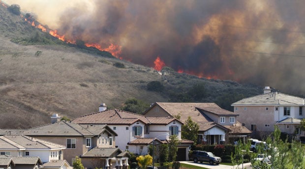
Fire Risk
High-resolution wildfire scoring that meets new California Wildfire Regulation 2644.9.
Enhanced Wildfire Model
Enhanced Wildfire Model
Get more accurate wildfire scores to pinpoint localized wildfire risk with our enhances wildfire model. Using 26-acre hexagons as the base geography, the new wildfire model is 7 times more granular than before. Read more about the Enhanced Wildfire Model in our blog about Wildfire Hazard Modeling.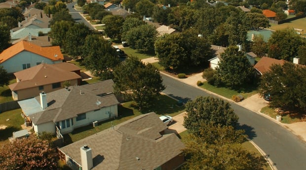
Fire Suppression Score
Fire Suppression Score
Differentiate fire protection class more accurately with Fire Suppression Score. Fire Suppression Score is a Generalized Loss Model (GLM) back-tested with real-world loss data. This enables you to gain more insight into property fire risk, differentiate risk better, and price more granularly. Learn more about Fire Suppression Score in reading our HazardHub Fire Suppression Score Feature Brief.
Fire Hydrants
Fire Hydrants
HazardHub is the largest database of fire hydrant locations in the United States. Fire hydrants are critical in suppressing house fires and wildfires. Knowing where these hydrants are located is a key variable to accurately determining a property's fire risk. Fire hydrants are an exclusive data set offered only by HazardHub.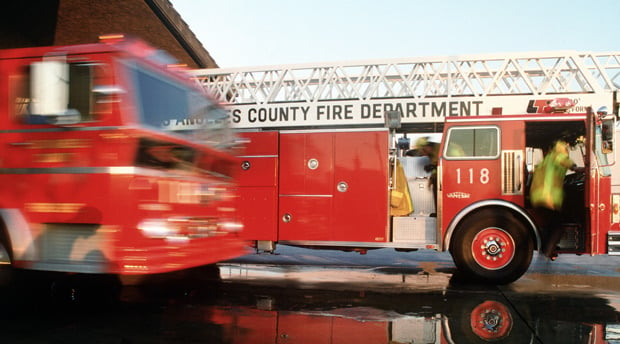
Fire Stations
Fire Stations
HazardHub's fire station data set contains more than 54,000 fire station locations - each of which has been hand-examined for both positional accuracy and equipment capacity. Time, rather than distance, matters more when responding to a fire. HazardHub provides the distance to the nearest fire station in drive-time, along with where the next 3 nearest stations are located.
Wind Risk
Detailed and accurate wind risk scoring, plus historical data.
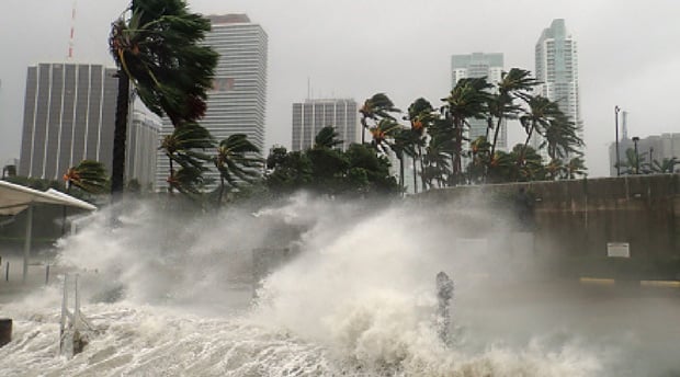
Hurricanes
Hurricanes
Hurricanes are powerful storms that can have a devastating impact on property owners. Hurricanes will often cause roof damage, flooding, erosion, tree toppling, and downed power lines. HazardHub provides detailed scoring and grading of hurricane risk, including, the barometric pressure, wind speed, and number of past hurricanes in the area.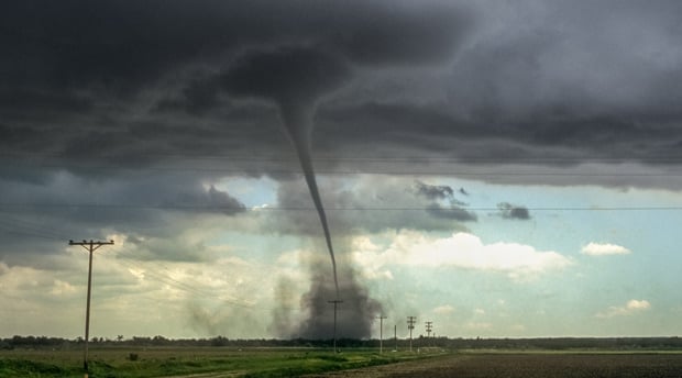
Tornadoes
Tornadoes
Tornadoes are among the most feared wind risks in the country. They can form and strike unpredictably and leave massive devastation along their path. HazardHub provides detailed scoring and grading of tornado risk, including historical tornado events, tornado radius, and property damage from the nearest tornado incident.
Hail
Hail
Hail is one of the biggest reasons for replacing a roof. Hail can cause property damage to both homes and cars with its destruction, ranging from dents on windows and roofs to shattered glass. HazardHub provides detailed scoring and grading of hail risk, including historical hail events, hail ring parameters, and property damage from the nearest hail incident.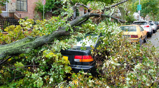
Windstorms
Windstorms
Straight-line winds more than 58 MPH are one of the most common wind hazards. These "derecho" windstorms can knock down trees and powerlines, causing significant damage to property. HazardHub provides detailed scoring and grading of wind risk, including historical wind events, wind ring parameters, and property damage from the nearest wind incident.
Use the Best Property Data on the Market to Your Advantage
Use our comprehensive data to make faster, more accurate decisions. HazardHub offers risk grades and scores for multiple perils including earth, wind, fire, water, and manmade disasters. HazardHub also provides comprehensive property attributes including property value, roof information, and replacement costs. Below is an overview of our property risks, along with examples of data fields for each category.
Earth
Earth
Earthquakes
Fracking Earthquakes
Designated Faults
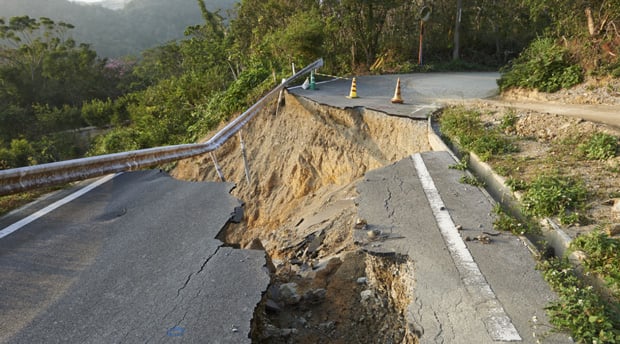
Landslides
Sinkholes
Volcanos
Lava Flow
Mine Subsidence
Elevation
Radon Levels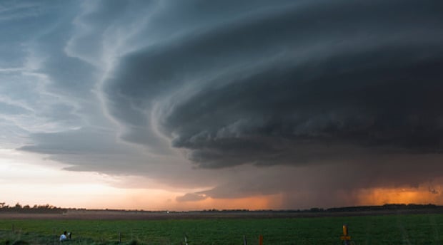
Wind
Wind
Hurricane
Tropical Storms
Tropical Depressions
Tornado
Lightning
Hail
Convection Storm
Maximum Wind
Wind-Borne Debris
Weather Parameters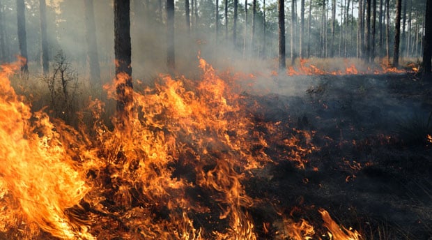
Fire
Fire
Wildfire
Drought
Vegetation Burn Points
Wind Region
Fire Protection
Fire Suppression Score
AAIS Protection Class
Perennial Water
Fire Hydrants
Fire Stations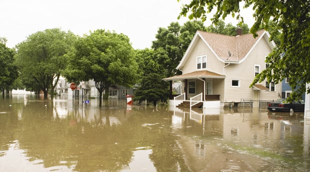
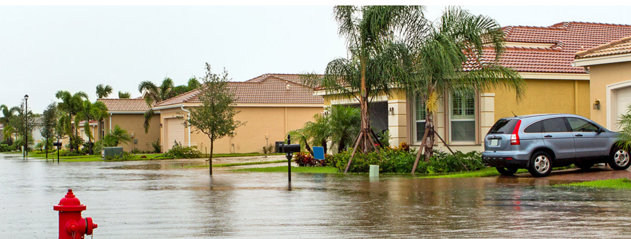
Water
Water
Flood
Flood Parameters
FEMA Claims
Tsunami
Distance to Coast
Sea Level Rise
Storm Surge
Mold Index
Frozen Pipe
Snow Load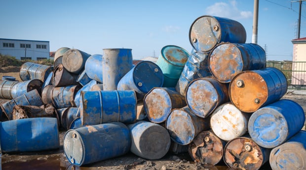
Manmade
Manmade
Underground Storage Tanks
Toxic Release Facilities
PFA
Mine Subsidence
Superfund
Brownfield
Asbestos
Nuclear Site
Radon
Crime
Property
Property
Owner
Property Code Use
Year Built
Square Footage
Exterior Construction
Interior Fireplace
Garage Cars
HVAC
Roof Type
Property Value
Replacement Cost
Replacement Cost
Replacement Cost
Architectural Style
Construction Quality
Construction Type
Primary Exterior
Primary Roof Covering
Square Footage
Architect Fees and Permits
House Materials and Labor
Overhead
Permits
Permits
Address
Number of Permits
Total Valuation
Permit Type
Permit Issued Date
Valuation
Work Description
Applicant Name
Owner Name
Contractor Name
Data Embedded Into Your Workflows
HazardHub data is delivered via a lightning-fast API, integrated with Guidewire apps, and through our web products.
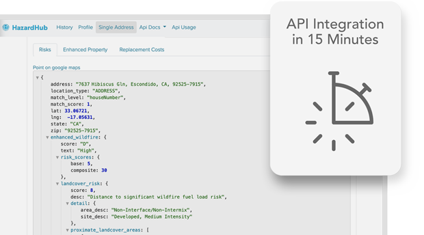
API
API
With the API, you can use the product standalone or plug the data into your policy admin system. Most developers have the API up and running in 15 minutes. You can get data to your internal teams in minutes, not weeks.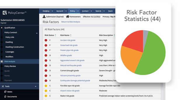
Guidewire Apps
Guidewire Apps
With Guidewire PolicyCenter and InsuranceNow integration, your underwriters can use the data directly within their Guidewire workflows. There's no custom IT work needed. Just tell us to turn the data on.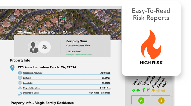
Agent Risk View
Agent Risk View
Need custom-branded, easy-to-read risk reports to send to customers? Want to help your customers identify risks around their properties? Get branded detailed risk reports at agentriskview.com.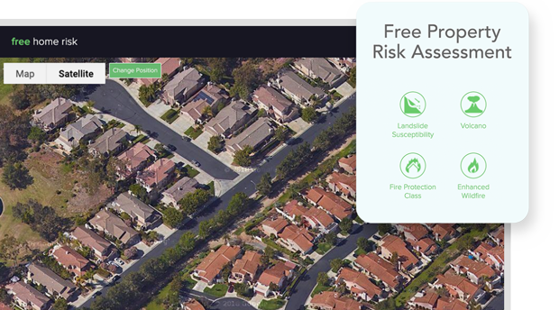
Free Home Risk
Free Home Risk
Curious to know risks around your home and what insurers see when determining your property risk? Get free property risk assessments at freehomerisk.com.
Start Your Free HazardHub Trial
Get access and analyze risks with 10 free API calls per day.
All fields are required